Astana, the capital of Kazakhstan, has undergone multiple name changes throughout its history. These changes reflect political transitions, national identity shifts, and the influence of Kazakhstan’s leadership. Below is an overview of the city’s historical names and the reasons behind each change.
Akmolinsk (1830–1961)
The settlement was founded in 1830 as a Russian military outpost and was named Akmolinsk. The name derives from “Ak-Mola,” meaning “White Shrine” or “Holy Place” in Kazakh, possibly referring to a local burial site or geographical feature.
Tselinograd (1961–1992)
During the Soviet Union’s Virgin Lands Campaign, aimed at increasing agricultural production in northern Kazakhstan, the city was renamed Tselinograd (from the Russian “Tselina,” meaning “virgin lands”). This renaming emphasized the city’s role in the large-scale Soviet agricultural project.
Akmola (1992–1998)
After Kazakhstan gained independence in 1991, the government sought to restore Kazakh identity to place names. In 1992, the city reverted to a variation of its original name, Akmola, aligning with the country’s move away from Soviet-era names.
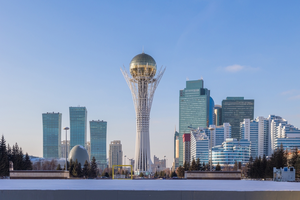
Astana (1998–2019)
In 1997, Kazakhstan’s capital was moved from Almaty to Akmola, primarily due to Almaty’s geographic limitations and earthquake risk. In 1998, the city was renamed Astana, which simply means “capital” in Kazakh. The name was chosen to avoid favoring any particular historical figure or political ideology.
Nur-Sultan (2019–2022)
In 2019, after the resignation of Kazakhstan’s long-time president Nursultan Nazarbayev, his successor, Kassym-Jomart Tokayev, proposed renaming Astana to Nur-Sultan in his honor. This change was quickly approved, marking the city’s most politically motivated renaming. However, it faced public opposition, as many residents preferred the neutral name “Astana.”
Return to Astana (2022–Present)
In September 2022, following public dissatisfaction and political shifts, President Tokayev signed a decree restoring the city’s name to Astana. This decision was part of a broader effort to distance the country from excessive political leader worship and to reflect the population’s preference.
Conclusion
Astana’s name changes mirror Kazakhstan’s historical and political transformations. From its early days as Akmolinsk to the present, each renaming reflects a shift in national priorities, governance, and public sentiment. Whether the name remains “Astana” or changes again in the future remains an open question, but the city’s evolving identity will continue to be closely tied to the nation’s political landscape.